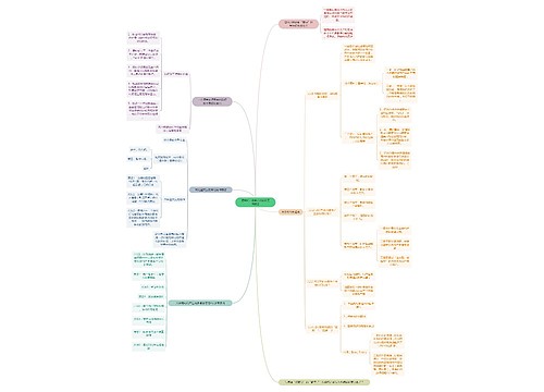
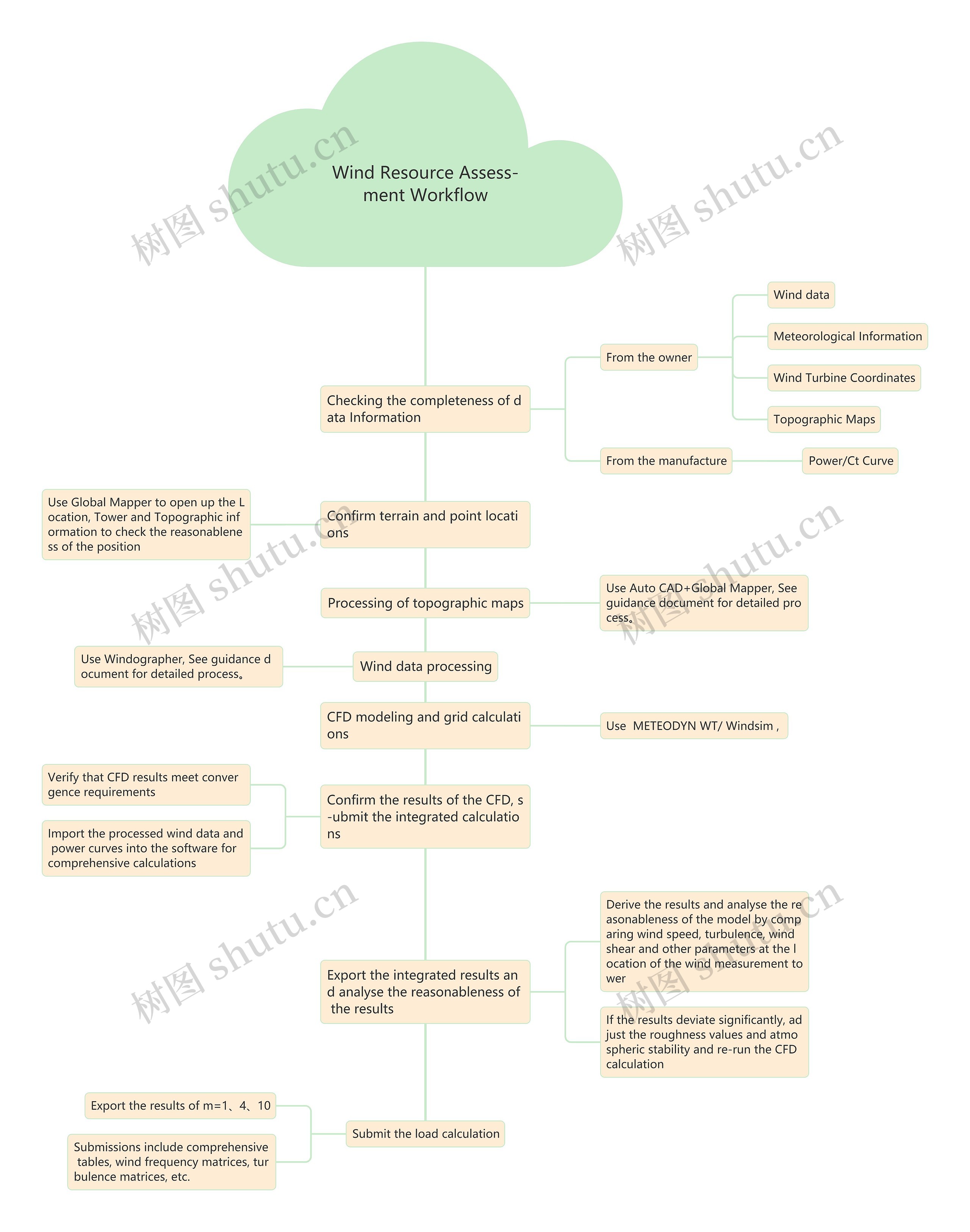
Checking the completeness of data Information
From the owner
Meteorological Information
Confirm terrain and point locations
Use Global Mapper to open up the Location, Tower and Topographic information to check the reasonableness of the position
Processing of topographic maps
Use Auto CAD+Global Mapper, See guidance document for detailed process。
Wind data processing
Use Windographer, See guidance document for detailed process。
CFD modeling and grid calculations
Use METEODYN WT/ Windsim ,
Confirm the results of the CFD, s-ubmit the integrated calculations
Verify that CFD results meet convergence requirements
Import the processed wind data and power curves into the software for comprehensive calculations
Export the integrated results and analyse the reasonableness of the results
Derive the results and analyse the reasonableness of the model by comparing wind speed, turbulence, wind shear and other parameters at the location of the wind measurement tower
If the results deviate significantly, adjust the roughness values and atmospheric stability and re-run the CFD calculation
Submit the load calculation
Export the results of m=1、4、10
Submissions include comprehensive tables, wind frequency matrices, turbulence matrices, etc.
 U873425174
 U862079285

